 |
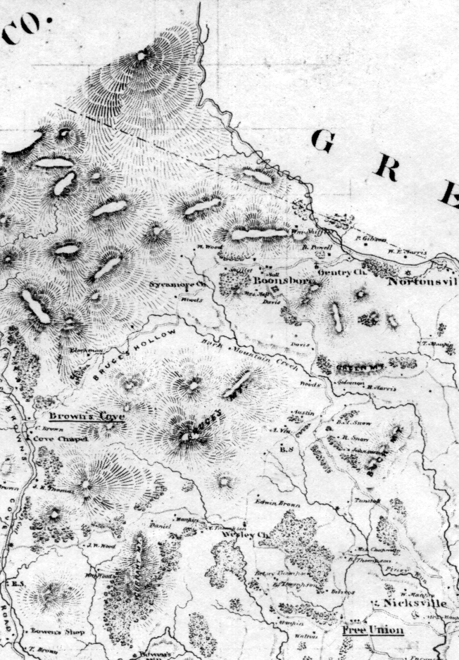
Detail of the Hotchikiss map, created in 1866 for Civil War planning. An effort was made to list areas of strategic importance: blacksmiths, mills, and bridges. There is no Shiflet mill nor Snow mill named on the map, although there are two unnamed mills in the border area. All inhabitants are NOT listed. The Ballard Mill is located along Mechums River (not shown). Click on the above image to open a new window on top of this one showing a full scale version of this detail (450k). |
 |
|
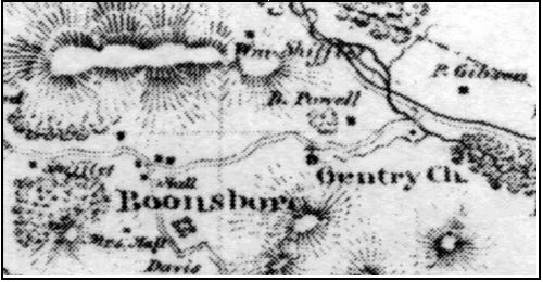
Blown up Detail 1 showing Wm. Shifflett near the Greene Co. border and another Shiflett directly east of The Gentry Church. |
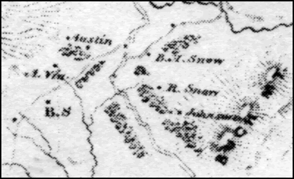 |
| Detail 2 showing Buck Mountain and some of its inhabitants, among them Richard Snow and southeast of him, it appears to be John M. Shifflett. To the west is A. Via. The B.S stands for Blacksmith. |
©1996 - 2002 Copyright for these pages and the information contained therein lies with the submitters or the maintainer named on each page. Reproduction or commercial use of any kind is strictly and expressly prohibited.
This page is part of the Shiflet Family Genealogy Website and is maintained by:
Julia Crosswell / Fort Worth, TX /
Bob Klein / Fort Worth, TX /